GEOSPATIAL TECHNOLOGY FOR MAPPING VILLAGE BOUNDARIES
March 20, 2024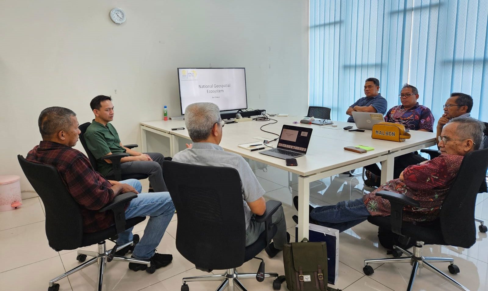
A first discussion in a series with the topic of Building National Geospatial Ecosystem was held at the new CAGR Office at the 8th Floor of the Multi-disciplinary Laboratory of the Faculty of Mathematics and Natural Sciences at UI, Thursday 21 March 2024. The discussion featured Mohammad Fadli, a spatial modeling expert and young geospatial entrepreneur as the igniting speaker highlighting various examples of geospatial modeling applications that he has developed over the years for various clients. Dr. Asep Karsidi the former Head of Geospatial Information Agency (BIG) served as discussant, while Dr. Iwan Gunawan former World Bank and now a Senior Advisor to CAGR served as moderator. This discussion series will lead to the concept formulation of what the Indonesia National Geospatial Ecosystem could look like, and how it can be nurtured in the next 5-10 years.